Okinawa
Prefecture, Japan's southwesternmost prefecture, consists
of 50 inhabited and 110 uninhabited islands scattered over an
area 1,000 km from east to west and 400km from north to south.
The islands are divided into three major groups:
the Okinawa island group, the Miyako island group and the
Yaeyama island group.Okinawa island is by far the largest,
followed by Iriomote island , Ishigaki island and Miyako island.
Click on map to Enlarge
Amazingly detailed geological survey maps (1951)
reprinted in 1957
|
....... |
More Maps of Okinawa
Hit your "BACK" button after viewing each map.
Okinawa Island
Another Okinawa Map - 1970
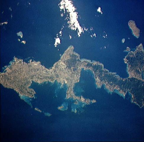
A view from the Challenger space shuttle
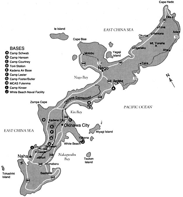
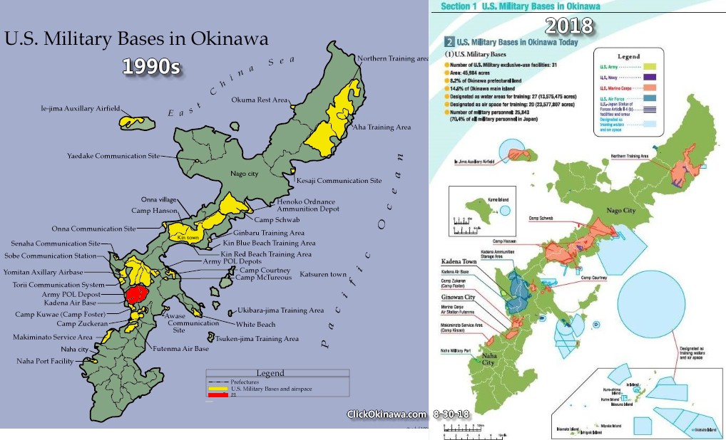
Military Installations on island
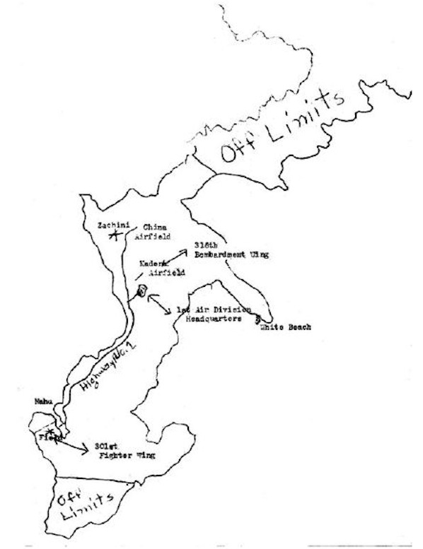
Military Instal. and Off-Limits Areas - 1947
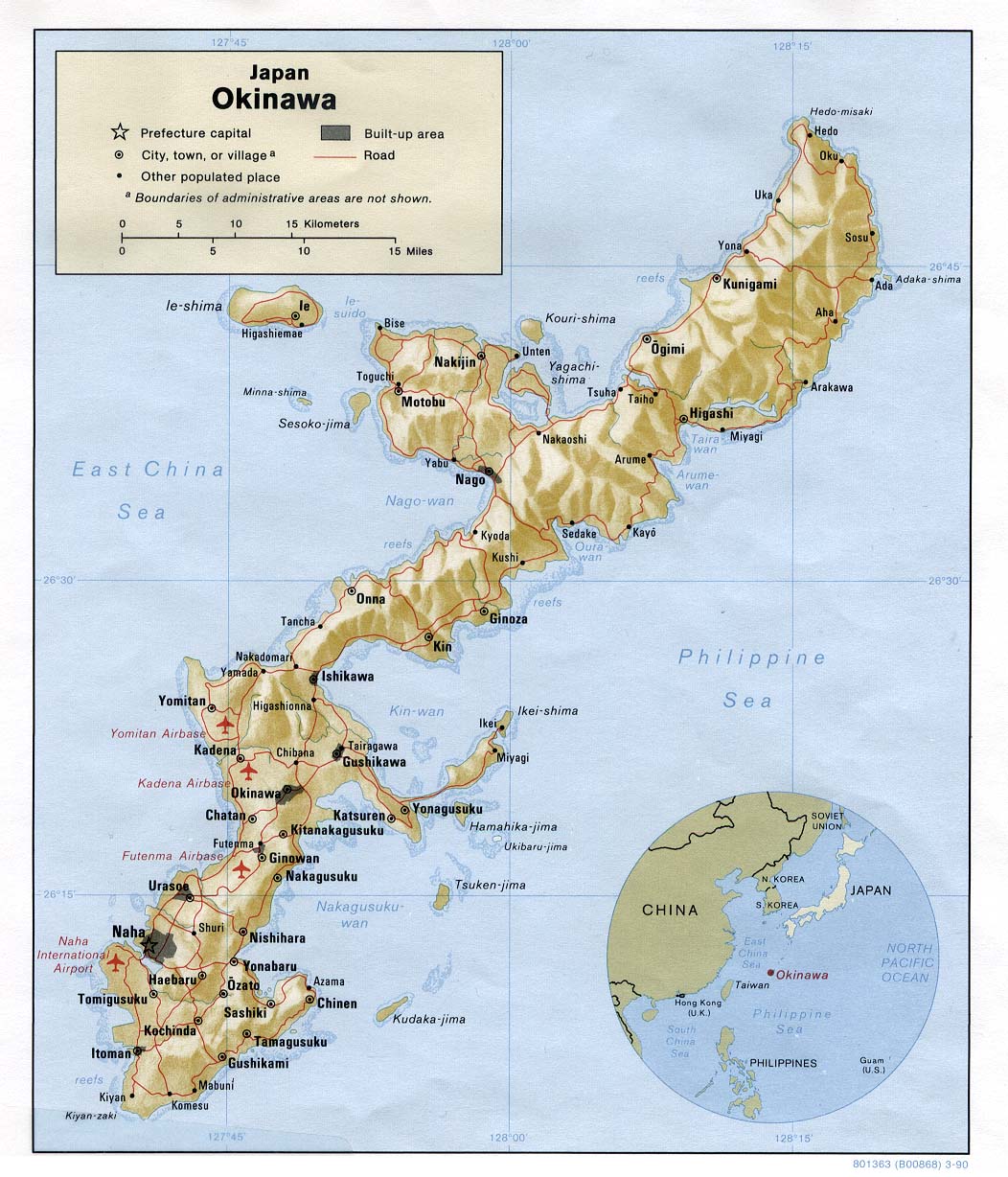
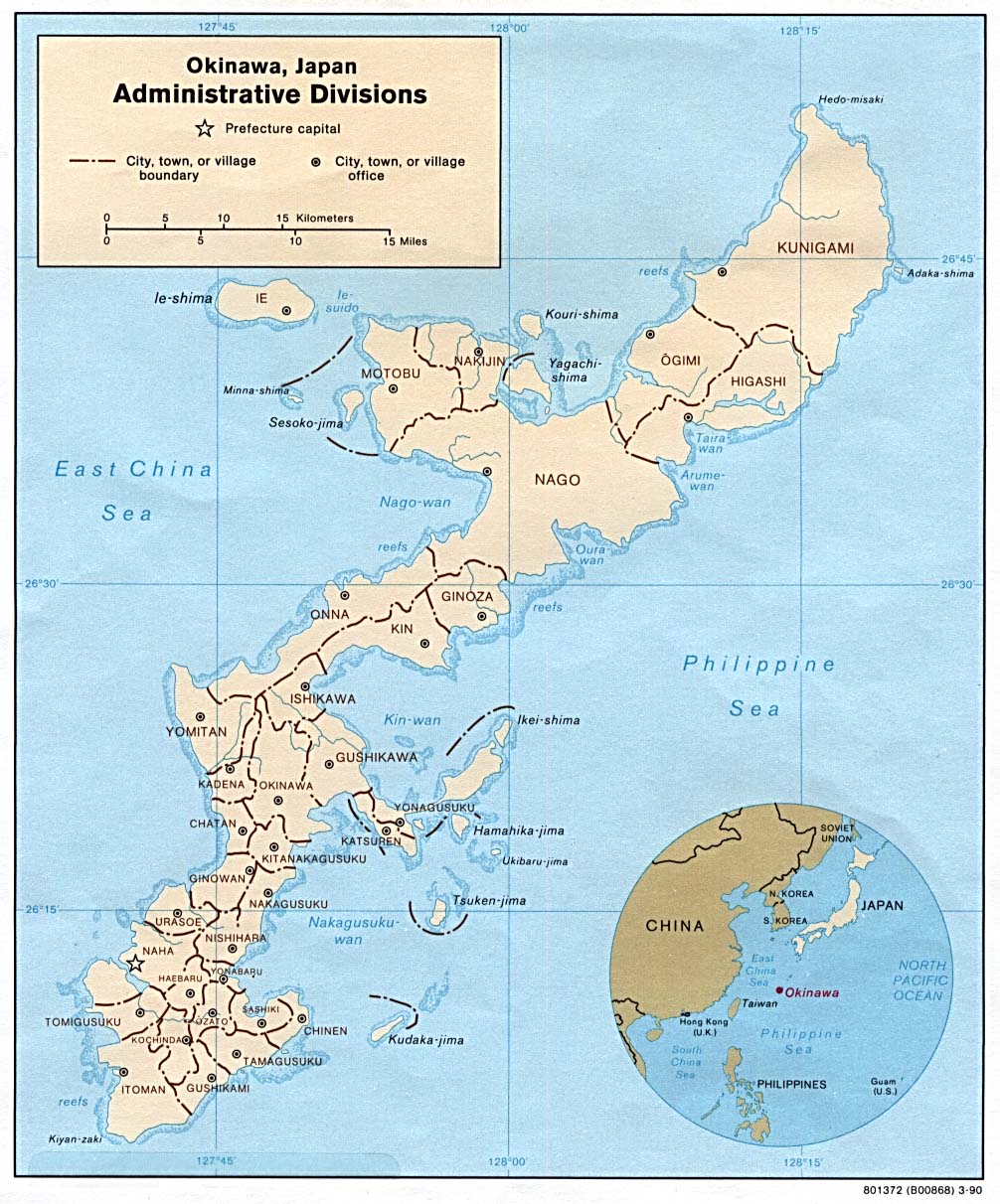
Administrative Divisions of Okinawa - 1949
Administrative Divisions of Okinawa - 1990
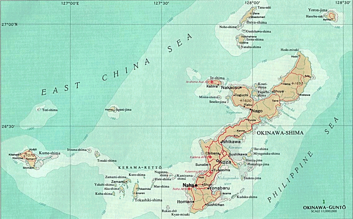
Another large detailed map of Okinawa
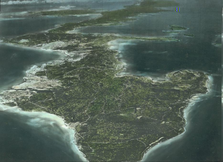
Aerial Photo of Okinawa
2003 Interactive map of Okinawa
Click and Drag to navigate around the island
Today's Okinawa Weather Reports
Okinawa Prefecture
from JapanGuides.net
Makiminato (Machinato) Housing maps
Panoramic Video of Hanari, Tokashiki Island
Taketomi Island
Iriomote Island
Kadena Circle & Morgan Manor
|


